Google’s FireSat Initiative: Revolutionising Early Wildfire Detection
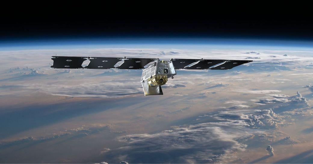
In a groundbreaking move to enhance early wildfire detection, Google, in collaboration with several partners, has launched the first satellite of the FireSat constellation. This initiative aims to identify wildfires in their nascent stages, potentially transforming wildfire management and mitigation strategies.
Launch Details
The inaugural FireSat satellite was successfully deployed from Vandenberg Space Force Base in California aboard SpaceX’s Transporter-13 mission. Upon reaching orbit, the satellite promptly established communication with Earth, marking a significant milestone in the project’s progression.
Technological Innovations
FireSat is designed to detect wildfires as small as 5×5 metres—approximately the size of a standard classroom. This capability is achieved through the integration of advanced infrared sensors and artificial intelligence (AI). The system continuously analyses high-resolution imagery, comparing current data with historical images to swiftly identify anomalies indicative of fires. By incorporating local weather conditions and other pertinent factors, FireSat can accurately confirm the presence of a wildfire.

Collaborative Efforts
The development and deployment of FireSat result from a consortium of organisations. Google Research has been instrumental in advancing the AI components, while Muon Space has been responsible for the design and operation of the satellite infrastructure. Financial backing has been provided by entities including Google.org and the Moore Foundation, with the Earth Fire Alliance coordinating efforts among various stakeholders.
Operational Advantages
Once the full constellation is operational, FireSat will offer near real-time monitoring, providing updates approximately every 20 minutes. This rapid data acquisition will enable emergency responders to receive timely information regarding the location, size, and intensity of emerging wildfires, thereby facilitating more effective and swift interventions.
Implications for Wildfire Management
The ability to detect smaller fires before they escalate holds significant promise for reducing the devastating impacts of wildfires. Early detection allows for prompt response, potentially curtailing the spread of fires and minimising damage to ecosystems and human settlements. Moreover, the data amassed by FireSat will contribute to a comprehensive historical record of wildfire activity, enhancing predictive models and informing future prevention strategies.
Future Prospects
The initial launch signifies the commencement of a series of deployments intended to establish a comprehensive global monitoring system. As additional satellites join the constellation, the frequency and coverage of wildfire detection will improve, bolstering the overall efficacy of the system. This endeavour exemplifies the potential of combining cutting-edge technology with collaborative efforts to address pressing environmental challenges.
Visual Insight
For a visual overview of the FireSat initiative and its implications for wildfire detection, you can watch the following video:
Conclusion
Google’s FireSat initiative represents a pivotal advancement in environmental monitoring. By leveraging AI and satellite technology, FireSat offers the potential to revolutionise how wildfires are detected and managed, ultimately contributing to the preservation of natural landscapes and the protection of communities worldwide.

